Uluru is famous
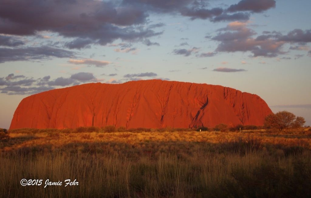
for a few reasons, but the biggest is because it appears to change color at various times of the day and year. This is most visible when it glows orange at sunset and sunrise. I witnessed this phenomenon with my own eyes; it was absolutely astonishing!
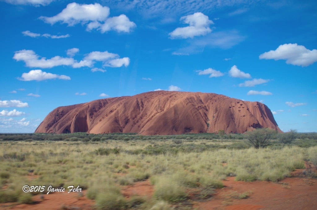

The highlight of this portion of my trip was getting to see Uluru,
sometimes called Ayres Rock. You may have heard it called by one name or the other. One of the names was given to it by a white explorer, and the other is the traditional name. Today, it officially carries a double name. If you are curious, here is a short explanation of the history of both names.
In case you are wondering, Uluru is a Yankunytjatjara word. (Yankunytjatjara is the name of the Aboriginal people whose land Ayers Rock is located on.) In fact, Uluru is not just the name of Ayers Rock itself, but also of the country around Ayres Rock. The word “Uluru” is a place name that has no specific meaning. For a really good more in-depth explanation on this, please check out this page (which is also my source for this paragraph).
Although not as recognizable, the Kata Tjuta is another interesting formation that’s physically actually quite close to Uluru. It also had a different name assigned to it, before it was also officially given a double name, so as to include the traditional name. For more info about that, click here.
Going forward, I will refer to these places only by their traditional names. If you are curious about the traditional languages, check out this link.
My flight to Alice Springs
originated in Adelaide. Even though we all know not to leave bags unattended in an airport, sometimes it happens for innocent reasons anyway. On that day, such actions earned me a conversation with two police officers. At the time, in the moment, this wasn’t so funny. But now, looking back, I can laugh.
As I was checking my bags in, I was informed that they were too heavy. So I removed some of my easily replaced (but not too expensive) food items, like oil & margarine, etc. I didn’t dispose of them right away, because there wasn’t a waste bin near me and I was already at the luggage counter. I left the bag they were in sitting alone on the floor behind me while I checked my bags. Once that was completed, as I turned to leave and pick up my trash, I was confronted by a couple of sharp-eyed police officers. I had to explain what had just transpired. They were good about it, but reminded me to not leave bags unattended. Thankfully, I was able to board my flight without issue.
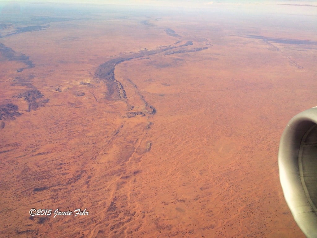
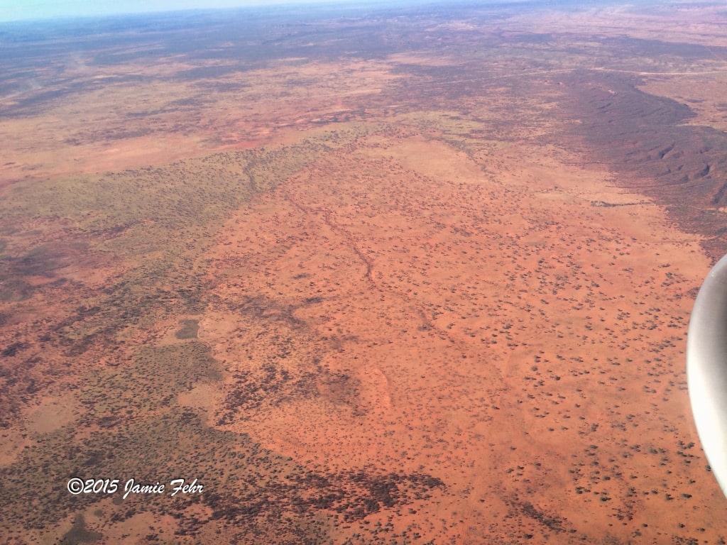
As we were flying across the outback, I noticed how barren and red it was. From up in the jet, it looked like we were flying over Mars. As we descended, everything that had looked so small from high up grew to life-size, and the notion that we were about to land on Mars felt even more true. Once I got out of the airport, I realized that this place indeed shared some similarities with Mars: both were hot, barren, and have very fine sandy red soil!

When I checked into my hostel, I met a young man from Germany who was checking out. He asked if I had a head net, for all the flies in the Outback. I told him I didn’t, so he graciously gave me his, stating he had no more need of it as he was flying home. I’ll forever be grateful for his kind gift; it was a life saver! The flies in the desert are attracted to any moisture (especially on bodies), so they landed and buzzed around my eyes, nose, mouth, & ears. I didn’t need it all the time, but when I did, that head net came in handy very quickly! (But no matter how bad they were, I did take the head net off for any pictures that I was in.)
That afternoon as I got settled into my room, I met one of my roommates, Nitin Gairola. As we talked, I found out that he was visiting Australia from his home country of India. And that he was also booked on the same tour as I was.
The next day
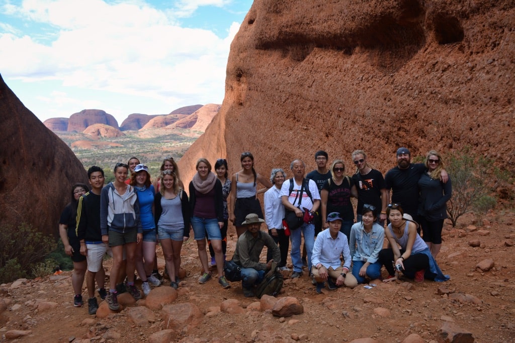
we met our tour guide, Ben; along with the rest of our travelmates on this trip. The bus was full, with 21 passengers. We were all booked on the 3 day/2 night tour. Our group was pretty diverse. We hailed from Canada, India, the USA, Hong Kong, Korea, Germany, Holland, Italy, Brazil, and the UK (I think I got all of them).

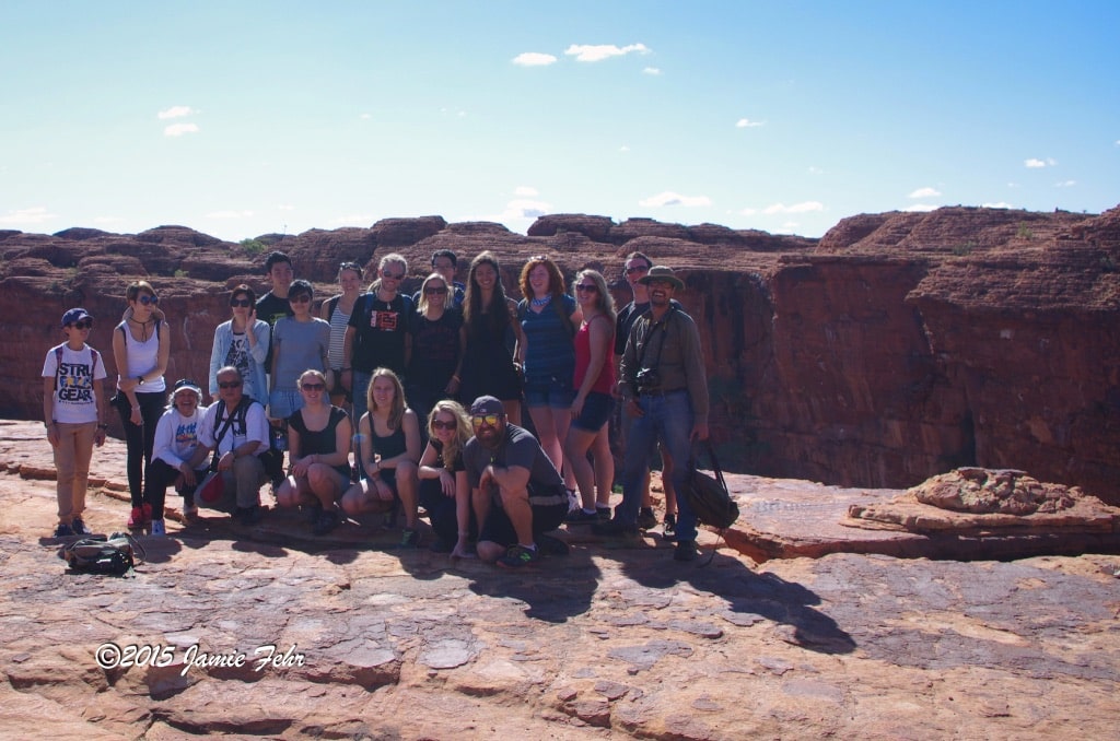
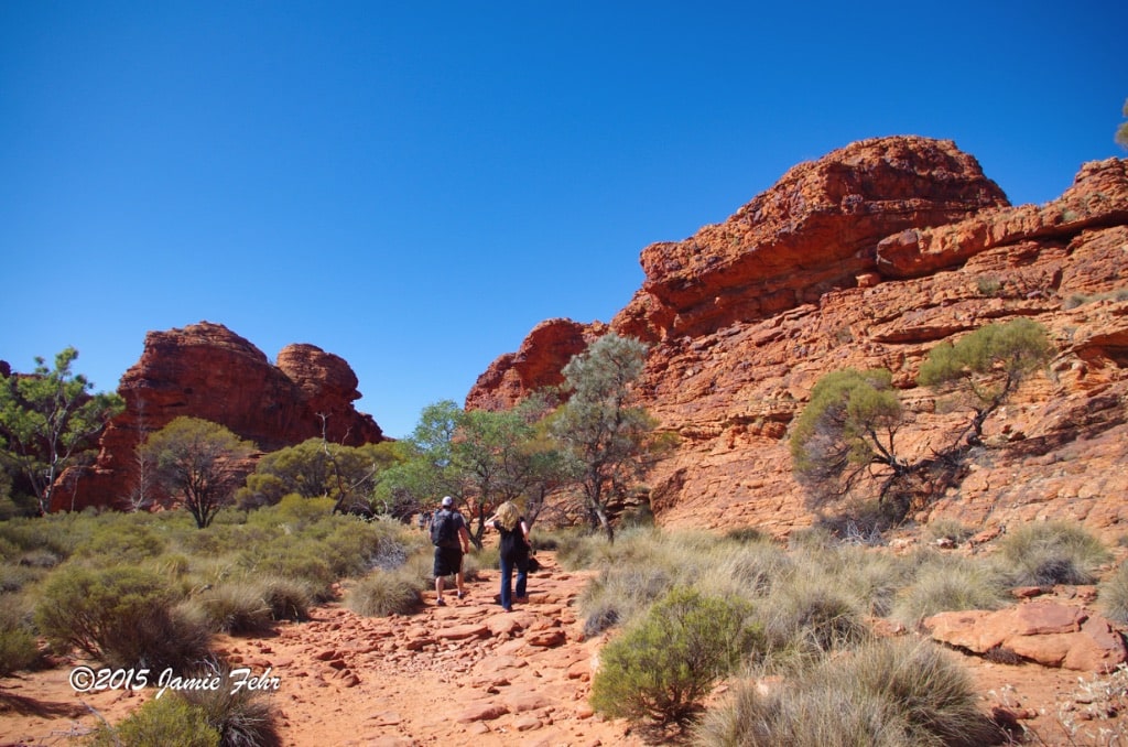
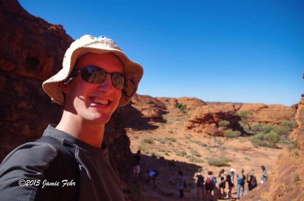
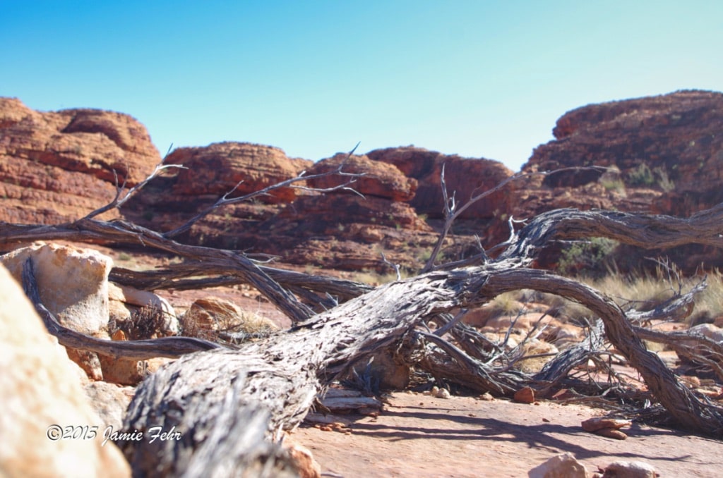
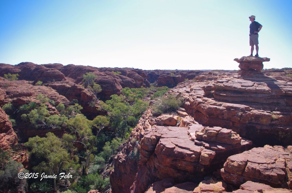
Our first stop was at King’s Canyon. Upon arrival, we hiked the 6km rim loop.
There’s just so much red, in every direction you look! There are scrub bushes & trees, but all the plants here are really hardy.
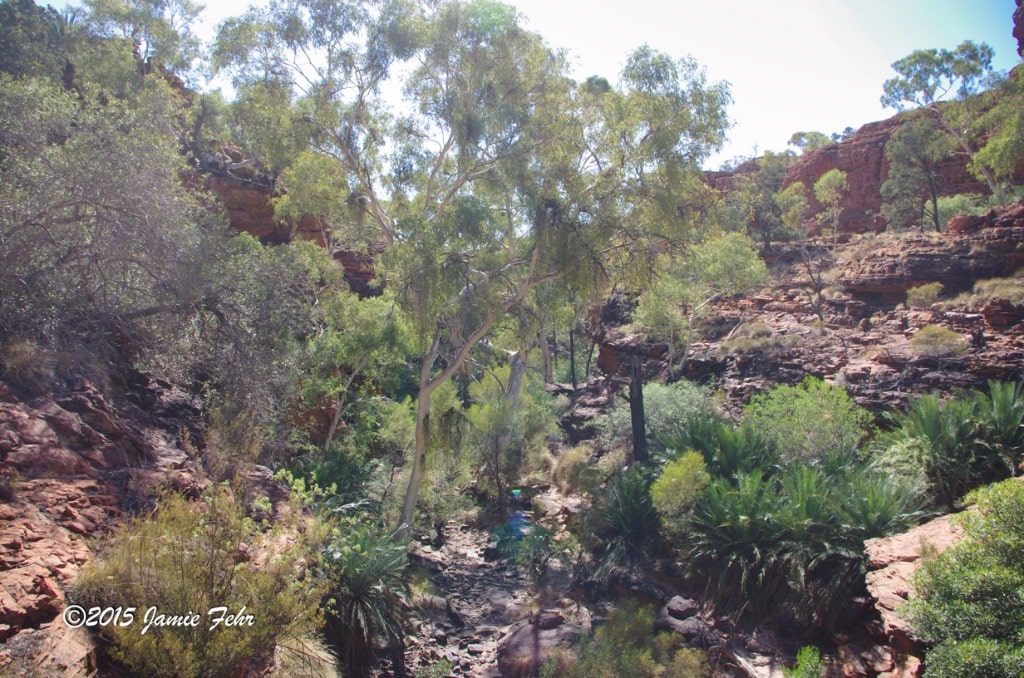
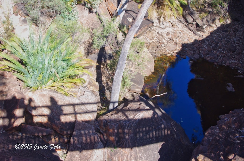
Then at a particular spot in King’s Canyon, we hiked to the bottom. There, a lush oasis awaited us. It’s called “The Garden of Eden”, and it was something special! Hidden away in this dry desert-like part of the Outback, there was a haven for wildlife. There were open water pools, green trees, aquatic plants, and animals that could not survive without fresh water. Here’s how it works: the walls and bottom of the canyon are a water-permeable Mereenie Sandstone, and deeper below that is an impermeable shale layer. The water table is high enough that the bottom of the sandstone is saturated with water, and when it rains the fresh rainwater seeps through the porous rock. Because the water pools are typically under the shade of the trees at the bottom of the canyon, they don’t evaporate. But the pools we saw were not too big, so water is a very precious resource in the desert.
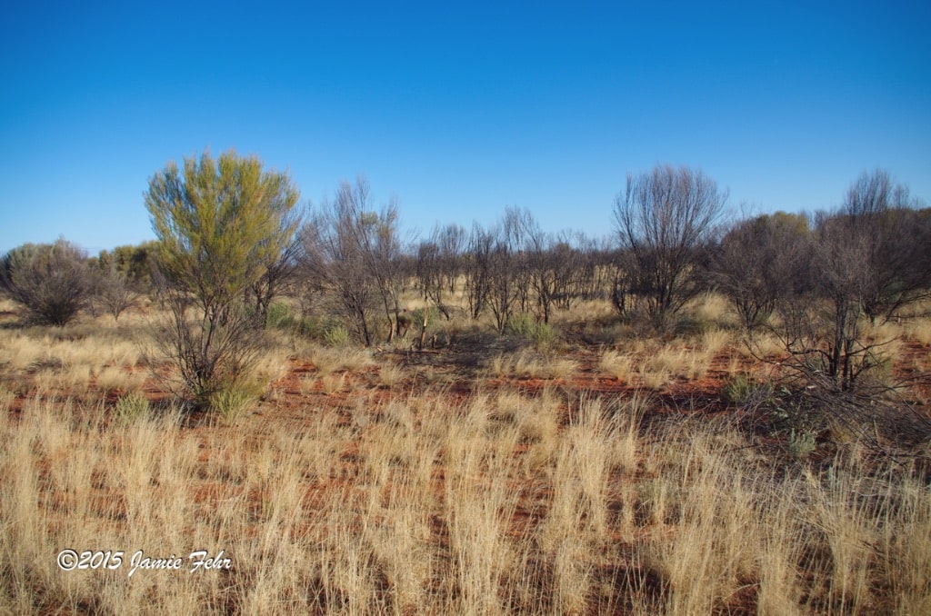

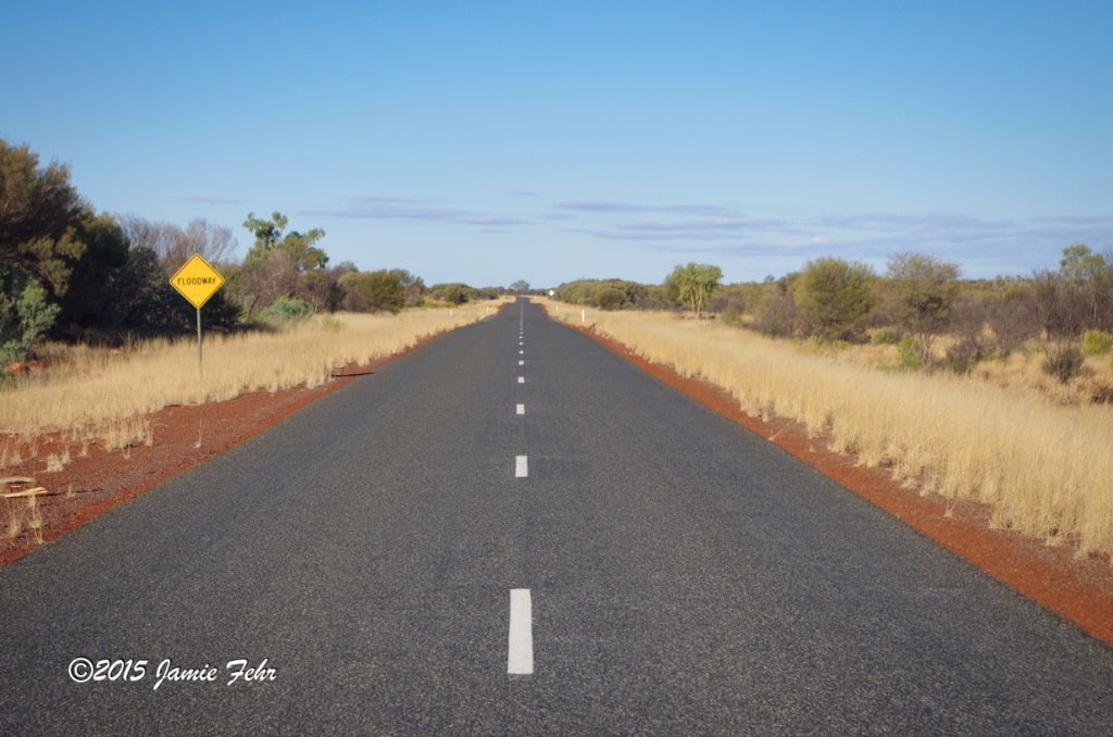
Our next task
was in preparation for the bush camp we planned to have that night. Ben stopped the bus and trailer at a spot on the highway where a fire had burned through a while ago. In that area, there were Mulga Trees that had been killed by the fire, but only the outside bark had been scorched. They were still standing but were pretty easy to break down. We also needed to break off the branches, as we only needed the trunks. They made the perfect firewood because they were already dry, and we were not harvesting live trees. This looked like a regular stop for all of the tours, so we had to scavenge to find all the firewood we needed. After almost an hour, we had all gathered up and dragged back everything that we would need, which Ben stacked and tied on top of our trailer.
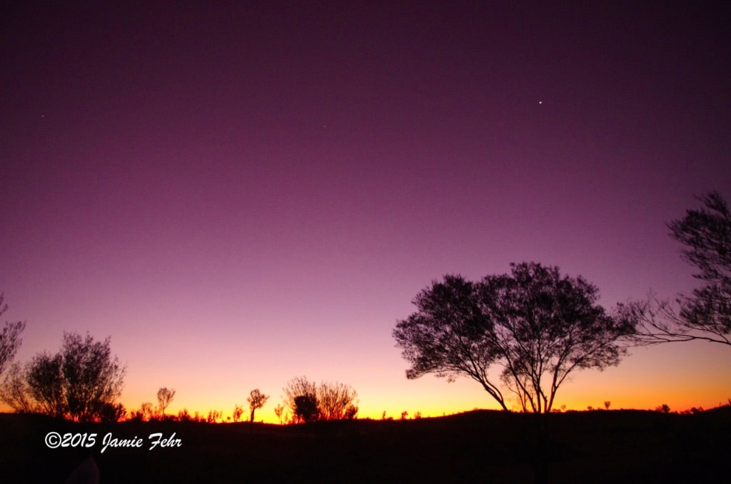
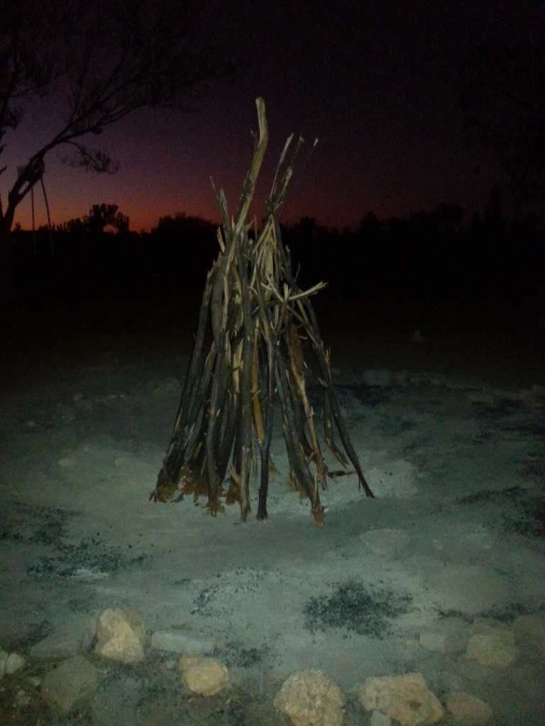

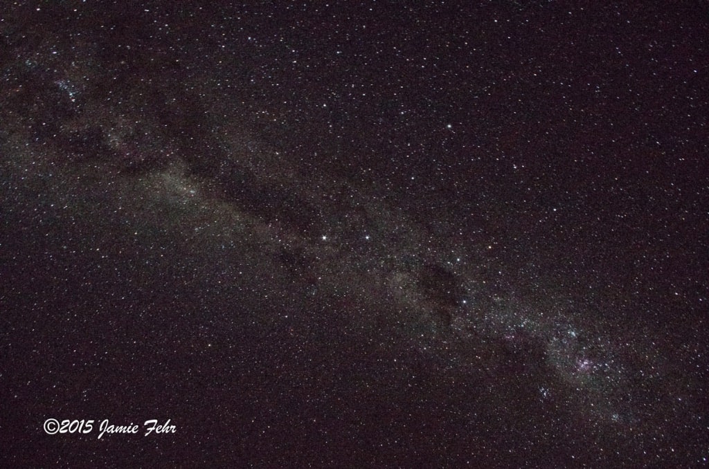
A couple of hours further down the road, we set up bush camp. Essentially, there was nothing built or established there, other than a sizeable fire pit surrounded by a ring of stones. It was just a flat spot in the Outback. There were some big trees nearby too. But it was astonishing, because other than our large bonfire that Ben quickly got started, there was absolutely no light pollution. Much to my surprise and delight, I was able to see the Milky Way core with my naked eyes! All I had to do was walk 10 to 20 paces away from the fire and keep my back to it. At that point the light of the fire wasn’t even affecting how I could see the stars.

Once our fire burnt down, we cooked on the coals. Ben made us a meat & bean stew, which turned out pretty good!

After supper,
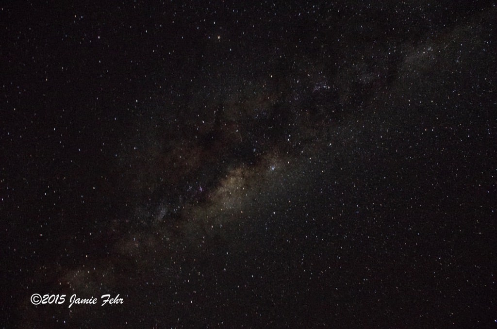
another travelmate kindly lent me a tripod. (I had not brought my own for this part of my trip, as I had to pack my luggage light for the airline.) I then wandered a little way into the dark Outback, away from camp and people’s lights. There, I proceeded to shoot some Milky Way pictures. The whole time, I was utterly in awe of how clearly I could see the Milky Way core; I never bored of that breathtaking sight!
Of all the places that I have observed the stars, this is the darkest place I have ever beheld them. Here in the Outback is where I have viewed stars the clearest, the brightest, and the best place that I have seen the Milky Way core unaided! Because the conditions were so good, my camera was able to pick up so much more detail! I hope to return someday to spend a few nights just soaking it all in, and hopefully getting some awesome pictures too.

We slept in swags, which are pretty much heavy duty canvas bivy sacks with a foam pad in the bottom. We put our sleeping bags inside the swag, zipped it up, then zipped up the sleeping bag (I found the best way was to zip them shut at the same time so I could reach both zippers). I forgot a pillow, but I put my shoes under the head of my swag, which worked wonders. I woke up periodically throughout the night, and every time I was awake, I appreciated the amazing night sky view!

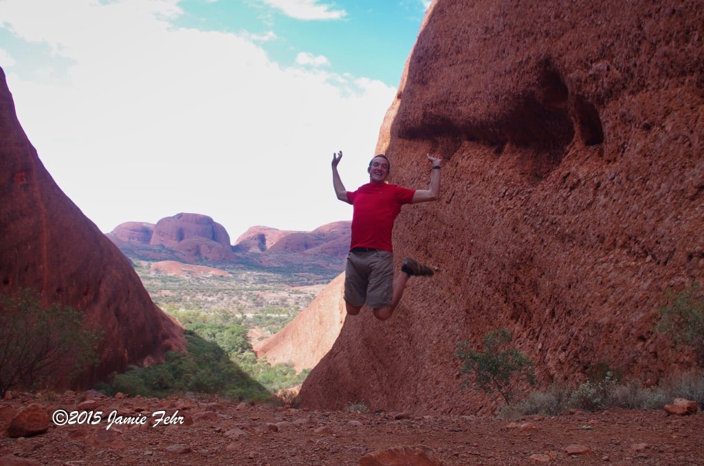

Early the next morning
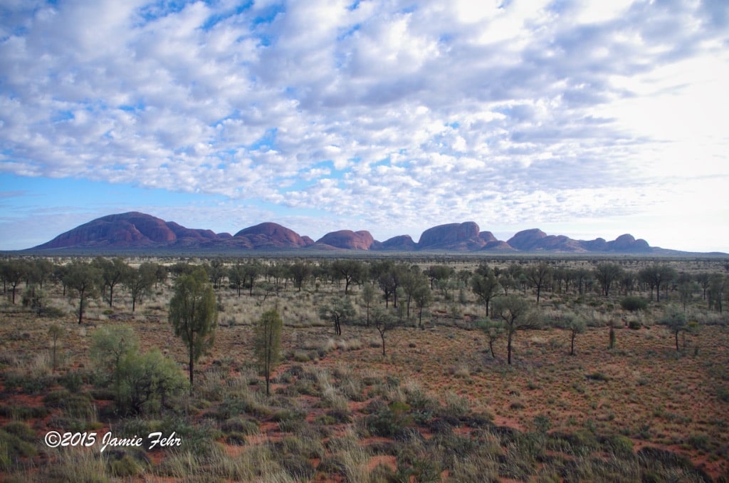
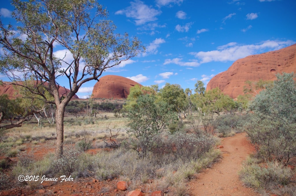
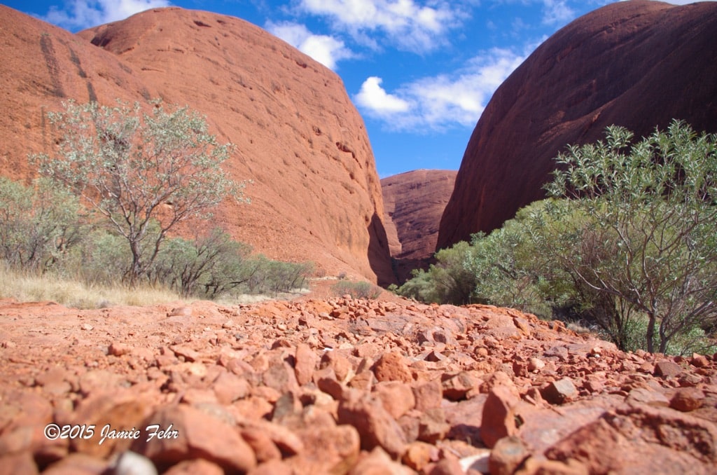
we broke camp, and drove to a campsite with infrastructure; that’s where we had breakfast. Our next stop was at Kata Tjuta, where we did a 7.5km hike on the “Valley of the Winds” full circuit walk. Kata Tjuta means “many heads”, and that is certainly a proper description. It was a beautiful walk, as the trail meandered through the sometimes narrow passages between the rock formations.
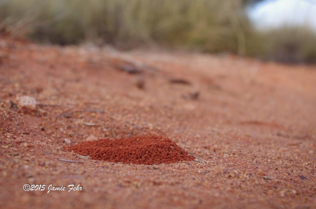
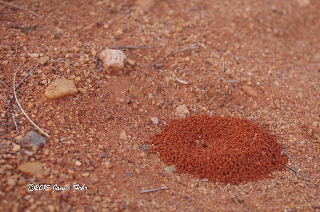
At one point, something on the ground caught my eye. When I looked at it closer, I noticed something very interesting. I had found a small anthill, the kind that ants make when they only excavate a single tunnel down. But what made it stand out so well was how red that freshly excavated soil was. The surface everywhere had been sun-baked and bleached, but this was very red freshly dug up soil!
Next, we made a mandatory stop at the cultural centre near Uluru. There, we learned lots of history about the interactions between white man and the Aboriginal traditional owners with Uluru. We were also informed of the Aboriginal traditional owner’s wishes for us tourists, guests on their land. Then FINALLY, we were able to see and be close to Uluru! We walked on the Mala Trail, at its base. It’s difficult to put into words the emotion that I felt.
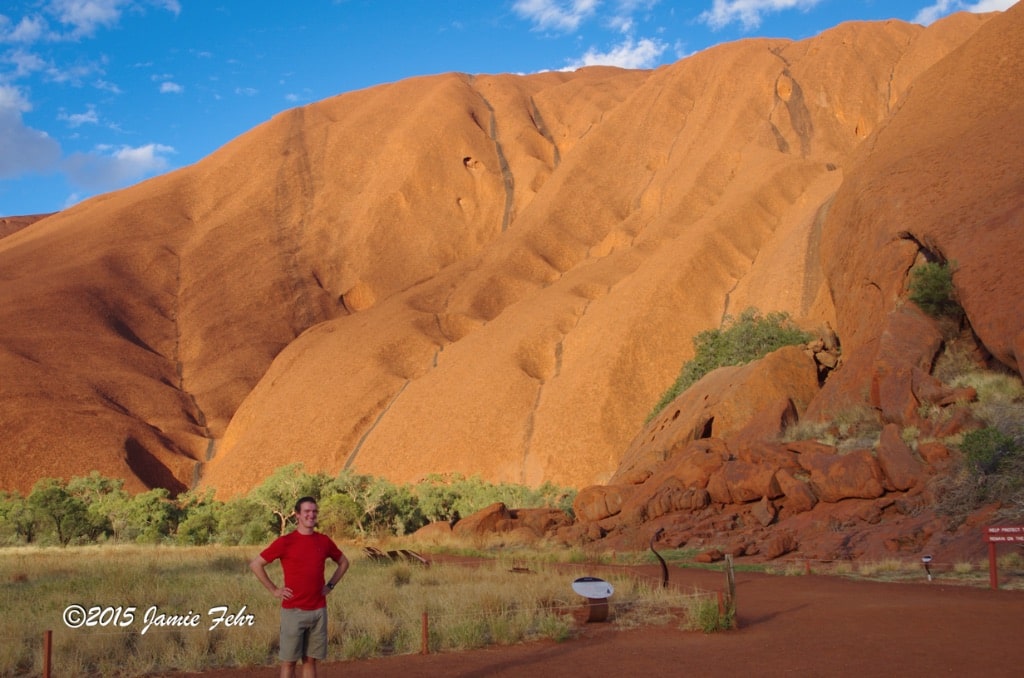
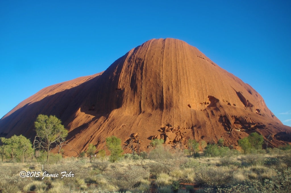
Here’s one of the main things, a symbol; that represents Australia to me, a tourist. And finally, I was next to it, beholding it with my own eyes. And surprisingly, it was bigger than I expected it would be! Just wow! The dark stains that look like ribbons are where water flows off the top, on the rare occasions when Uluru receives rain.
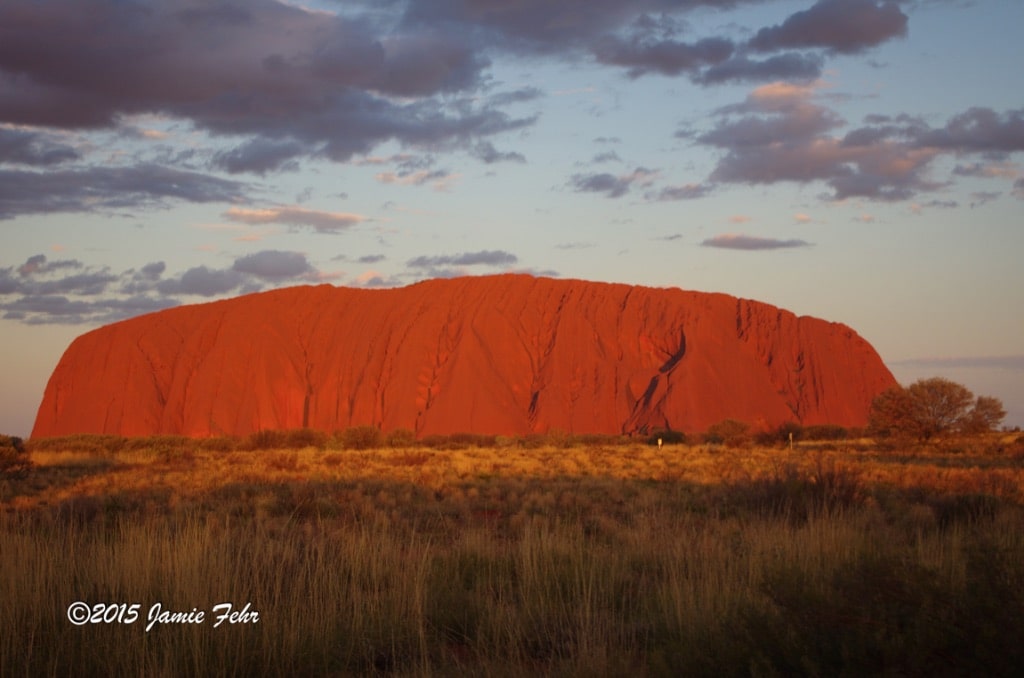

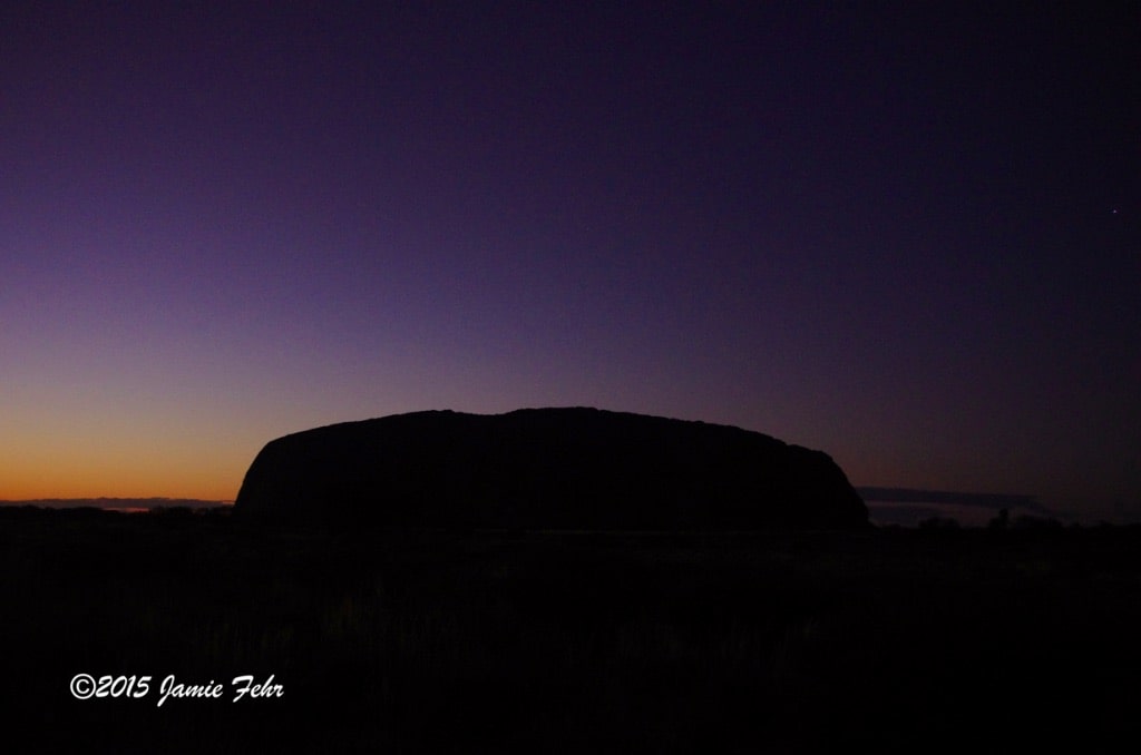

After our walk, we made our way to an excellent sunset viewing spot. As I mentioned earlier; interestingly, as the sun sets, the colors on Uluru change rapidly. I promptly set my camera up to capture a time lapse with as many of the changing colors as I could. Also, it’s crazy how fast the light disappears at the end. I haven’t changed the speed at all, but watch how fast it goes dark!

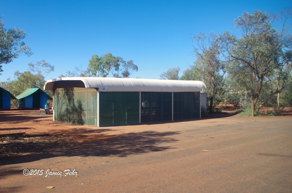
That night we slept in our swags again, but this time at an established campground. By this, I mean we had electricity, outhouses, and shelters with netting. These net huts allowed us a welcome respite from all the flies, and they had lights. As such, we prepared and ate our supper inside one of them. The next morning, we woke up early, then went back to our viewpoint to watch the sun rise upon Uluru. Here’s another GIF, this one of the sunrise.

It is at this point
that I want to bring up a potentially controversial subject. If this next topic offends you, my dear reader, I am sorry! Please know, that’s never my intention. I just want to candidly share my stories and experiences from my travels.
Were you aware that there was a climbing route on Uluru, and no specialized equipment was required? Even though climbing has been discouraged by the Aboriginal traditional landowners for many years, it was still officially legal.
However, the Uluru climb was permanently closed to tourists on October 26, 2019.
Before I came to Australia, I had heard there was a climbing route to the top of Uluru, and it piqued my interest. I also learned that Uluru was considered a sacred site to the Aboriginal traditional landowners, and they discouraged climbing.
For me, this became a deeply and profoundly personal decision, one that I didn’t make lightly. I hope that I am able to appropriately convey this to you. I struggled long and hard regarding whether or not to climb Uluru.
Here’s how I came to my decision.
Before I went to visit Uluru (it wasn’t my first stop), I had traveled down the East coast. While traveling through different places, I met and talked to a few Aboriginals.
As we conversed, they invariably asked if I had seen or climbed Uluru (it’s on many tourist’s must-see lists). When I would inform them that I had not made it there yet; and my internal struggle regarding climbing, most of them encouraged me to do so. When I asked them about the traditional landowners’ viewpoints, they shared that their opinion was that it was a political thing, that I shouldn’t worry about it. While I was in the Daintree Rainforest (North of Cairns), one Aboriginal gentleman even told me that he and his two friends made a pilgrimage to Uluru every year with their families. They made a point of climbing with all of their children who were old enough to do so. It was a rite of passage when a young child got to make their first climb. He especially encouraged me to climb. This particular conversation really stuck in my mind.
Sure enough, upon arrival, there was plenty of signage around Uluru informing us that it was a sacred site. The signs also shared the Aboriginal traditional landowner’s wishes, which was that we show respect and not climb Uluru.
I was torn. Part of me wanted to show respect and honor to the traditional landowners who, based on all the signage, clearly didn’t want me to climb it. And a part of me saw Uluru as a challenge, an opportunity to climb something different than I had ever climbed before. Additionally, this would afford me the chance to see Uluru from a unique perspective. I knew that this was a once-in-a-lifetime chance, because when I was there, it was already rumored that the climb would be closed within a few years. I also had those past conversations in my mind, the ones with a few of the traditional landowners. Where they told me that I should do the climb to experience Uluru in a different way rather than just walking around it and looking up. Therein lay my dilemma.
The evening before I would have the opportunity to climb, I was sharing my deep internal struggle with Nitin. He told me to “go with my gut”. I responded that I didn’t know what my gut answer was, because I was so torn that I had been unable to make a decision yet. So Nitin asked me a question and instructed me to answer honestly without thinking, to just say what first made sense to me. His question was “What would you be more disappointed by? Going home and regretting that you didn’t climb Uluru, or going home and regretting that you did?” When he put it to me that way, it was easy! I would regret it if I didn’t climb. So there was my answer. At that moment, I decided that for me, my personal decision was to climb. This was a decision that I had spent much time agonizing over, and now I had finally made up my mind. That in itself was a relief.
When I informed my tour guide, at first he tried to discourage me from climbing. When that didn’t work, Ben attempted to bully me not to climb. I don’t want to speak ill of him, so I won’t go into all the details here. But I will say this – the worst that he threatened me with was that he’d leave me behind! He also said that the rest of the passengers would hate me, and make the ride back to Alice Springs very uncomfortable.
If you know me at all, you know that I don’t respond well to bullying, so I stood my ground.
I told him that I had spent many months (or longer) making this very personal decision, and that my mind was made up. As long as the climb was officially open, I would be climbing. (It sometimes got closed by the authorities for various reasons; like it was too windy up top, it was too hot, a rescue of a lost climber was actively taking place, etc.) Finally, Ben relented and informed me that I would need to start my climb from a specific parking lot. He had already made plans to wait there with the bus, for the group to finish their walk around Uluru. Furthermore, Ben then said that I could stay on the bus to ride to the parking lot with him.
That evening, before going to sleep, I sorted out some insurance for myself; an “ace up my sleeve”, if you will. You see, I had no intention of being left behind by my guide. Consequently, I spoke with Nitin and informed him of my situation. I asked him not to get back on the bus until I was safely down and able to get on as well. Thankfully, Nitin told me that he supported my decision to climb, so he readily agreed to help me.
The next morning,
when Ben dropped everyone else off to start their self-guided walk around Uluru, I quietly stayed on the bus. Some of the other passengers had an inkling that something was up, and they accused me of wanting to climb. Some of them made very rude and even obscene comments. Some didn’t say anything. I didn’t respond, but just sat there quietly, waiting for our departure. By this time, most everybody was already off the bus. There was an older Canadian couple on the tour, and I had conversed with them a bit over the course of our tour so far. They were friendly, I viewed them as grandparent figures.
Then, the woman from that couple climbed back on our bus and walked up to me. I steeled myself, wondering what she could have to say that motivated her to get back on the bus. She said “Everybody is so willing to respect the culture here; they should also respect your decision. You do what you have to do.” I thanked her, then she turned and walked off the bus. That was very kind of her, something wonderful that I will never forget.
I never planned to share my photos from my climb; mostly because I didn’t want to negatively affect someone else’s decision about whether they chose to do the climb or not. Especially if they might possibly decide to climb on a whim, without thinking through the implications.
But now that the climb has been permanently closed, I feel a freedom to share my story and pictures. I am hoping that they will now be seen as positive, sharing some views that are no longer able to be obtained.
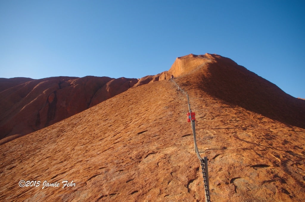
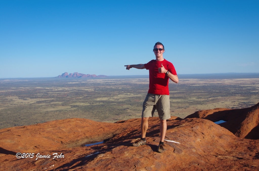


Once we reached the parking lot, I hurried to start my climb. It took me a total of 1:10 to get up and down. I only spent 5 minutes at the top beside the survey summit marker, looking around and taking some pictures. I really wish that I had taken more time to enjoy the view, but I didn’t want to get left behind. And I certainly didn’t want to cause trouble for Nitin, who had agreed to help me.
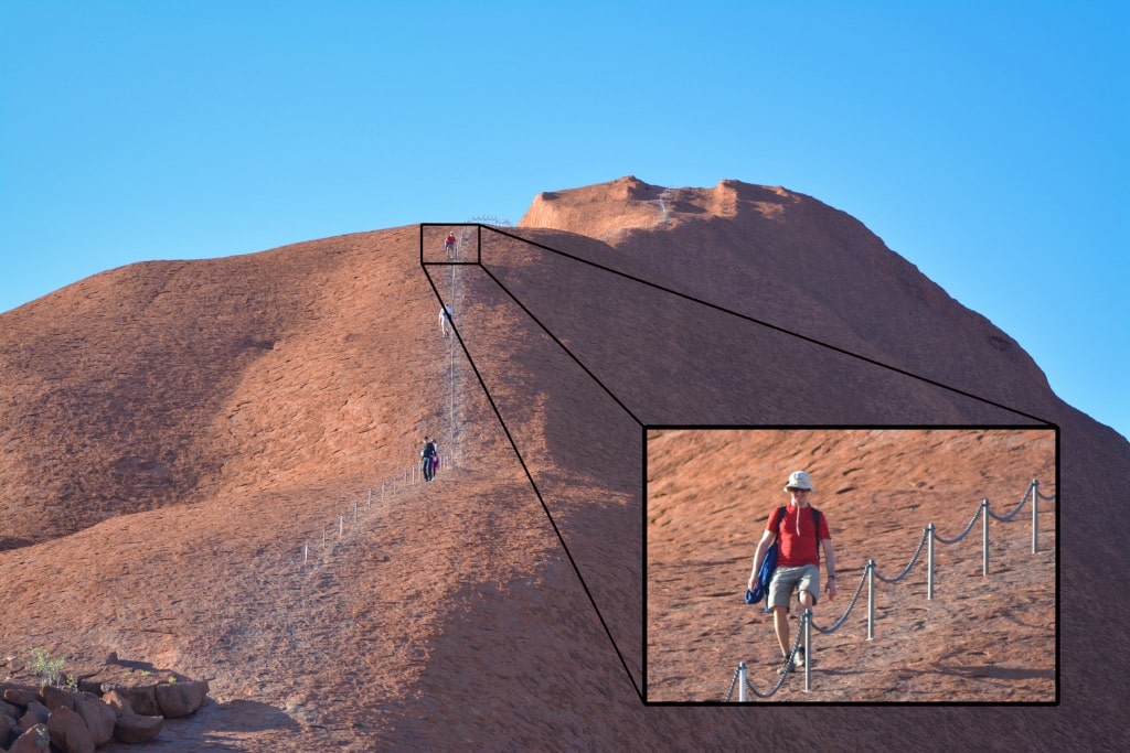
Parts of the climb were very steep, like 60 degrees! On those sections, I climbed/scrambled up almost on my hands and knees. The scales made climbing and descending much easier. I always made sure that my foot was in the bottom of the “scale pocket.” There was no loose grit or anything else, so my feet had a good purchase.
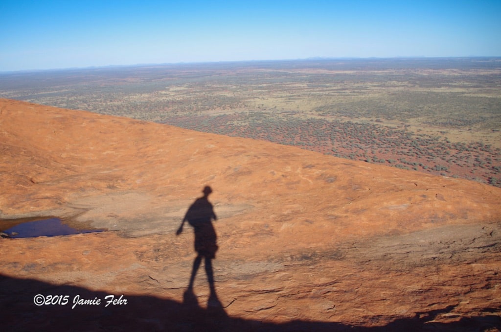
In 1963, on the steepest section of the 348-meter high climb, there was a 1.6km-long handhold chain installed; it was suspended between short poles anchored in the rock. (This chain was removed in 2019 shortly after the permanent closure.) Near the bottom of the chains an orange Pelican case was secured to one of the poles, and it was locked up. If I remember correctly, it contained some emergency supplies for rescuers to quickly access.
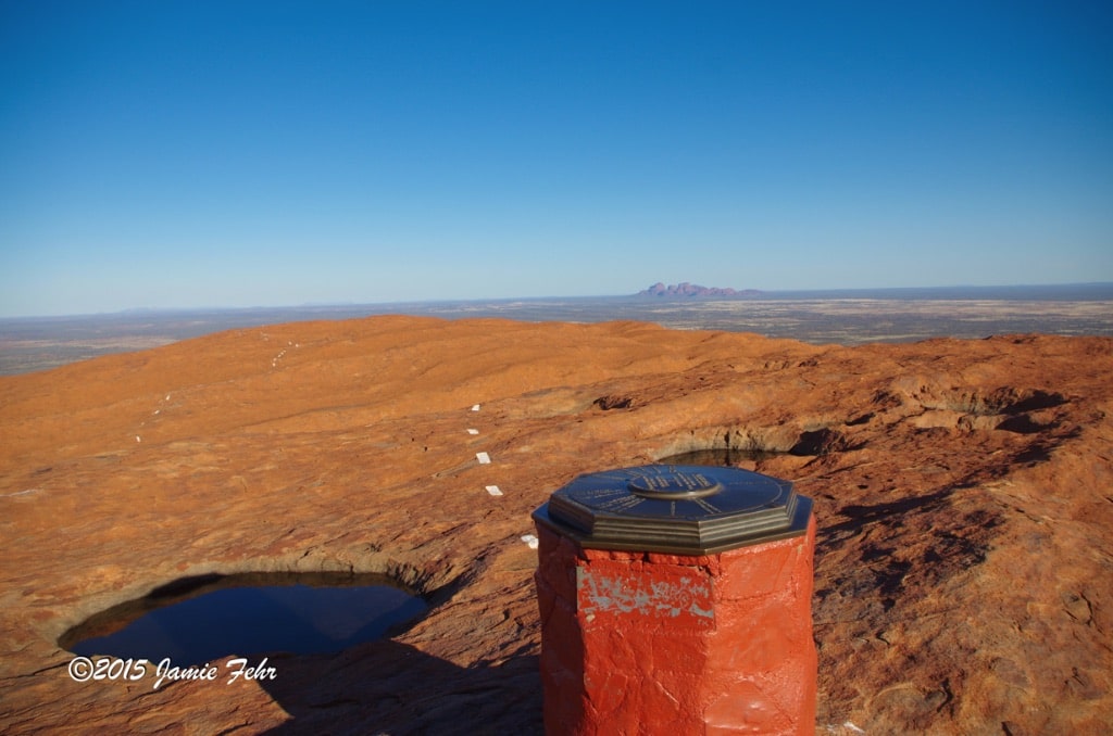
After the steepest part, the chains stop. Above that, there are white dotted lines painted on the rock (like on the middle of a highway) to guide you all the way to the summit marker. On top of Uluru it isn’t smooth (as you might imagine it would be), rather it’s quite uneven.

Even after I finished the climb, I still felt like it was a controversial choice that I had made. There’s just no way around that.
Uluru is full of mystery!
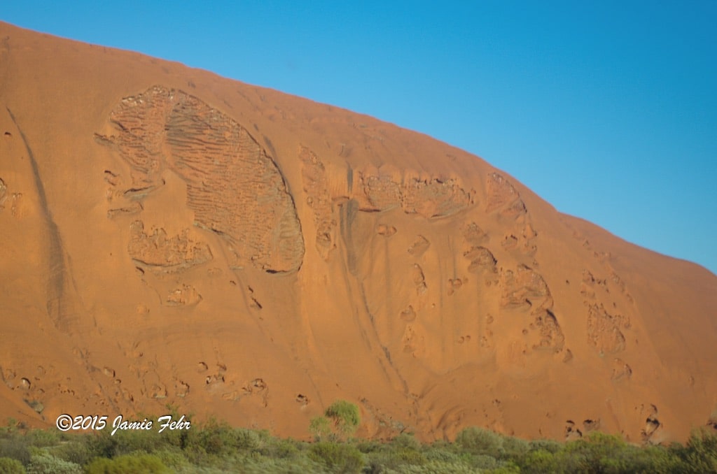
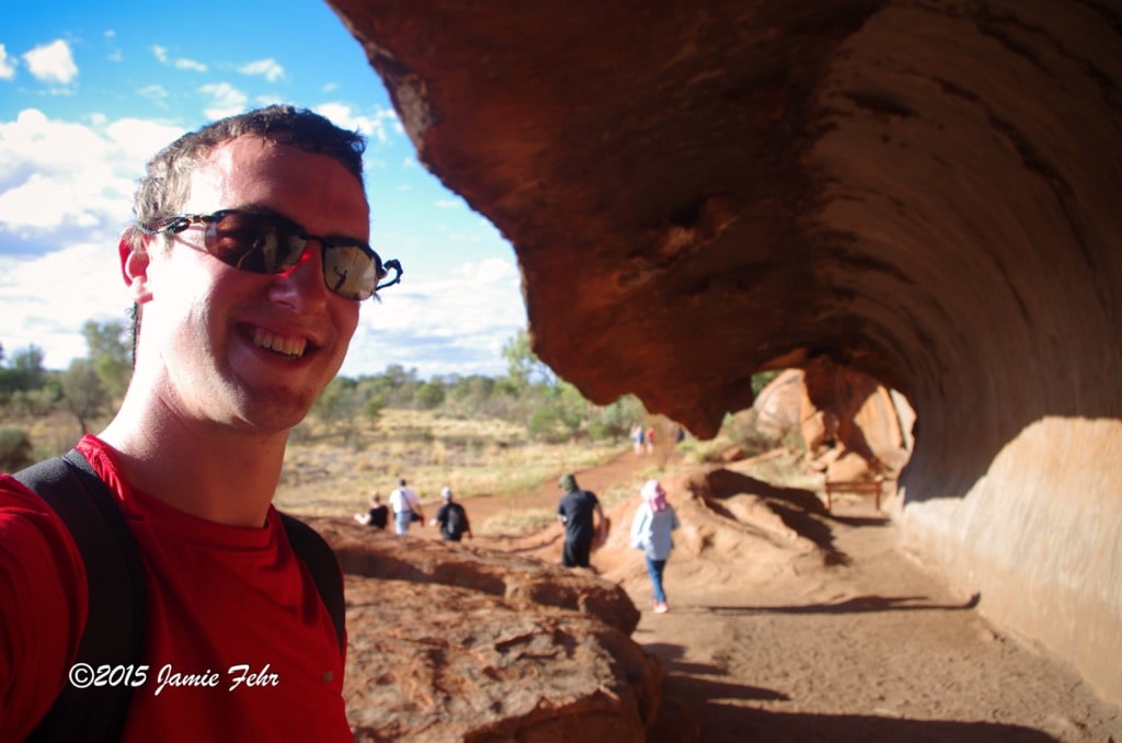
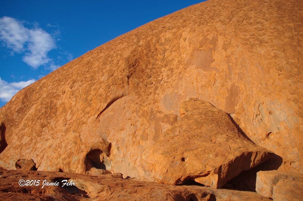
They say that it sticks out of the ground 1/3km, and is buried 6km in the ground! All around it, and on top, Uluru has all kinds of holes, ridges, broken-out bits, small caves, divots, a few fissures, maze-like surface markings, and other deformities. The most intriguing ones looked like a frozen wave. And yes you read that correctly, there were more than one like that, and they were different sizes! The one pictured above is so massive we could walk under it without touching the ceiling or the leading “falling edge” of the wave. I am very curious as to how all those deformations came about, but the “frozen waves” piqued my curiosity the most. Uluru’s rock face contains vertical lines which are not smooth, the best description I can think of is “gently jagged.” It is like those lines were composed of various types of rock that have aged and eroded differently. Also, up close, it looks like the whole thing is covered in what I can only describe as scales. They felt funny, as in when I knocked on them, they sounded kinda hollow. Yet they seemed to be pretty well attached, and when I climbed they supported my weight just fine.
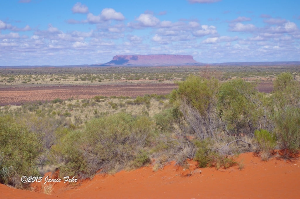
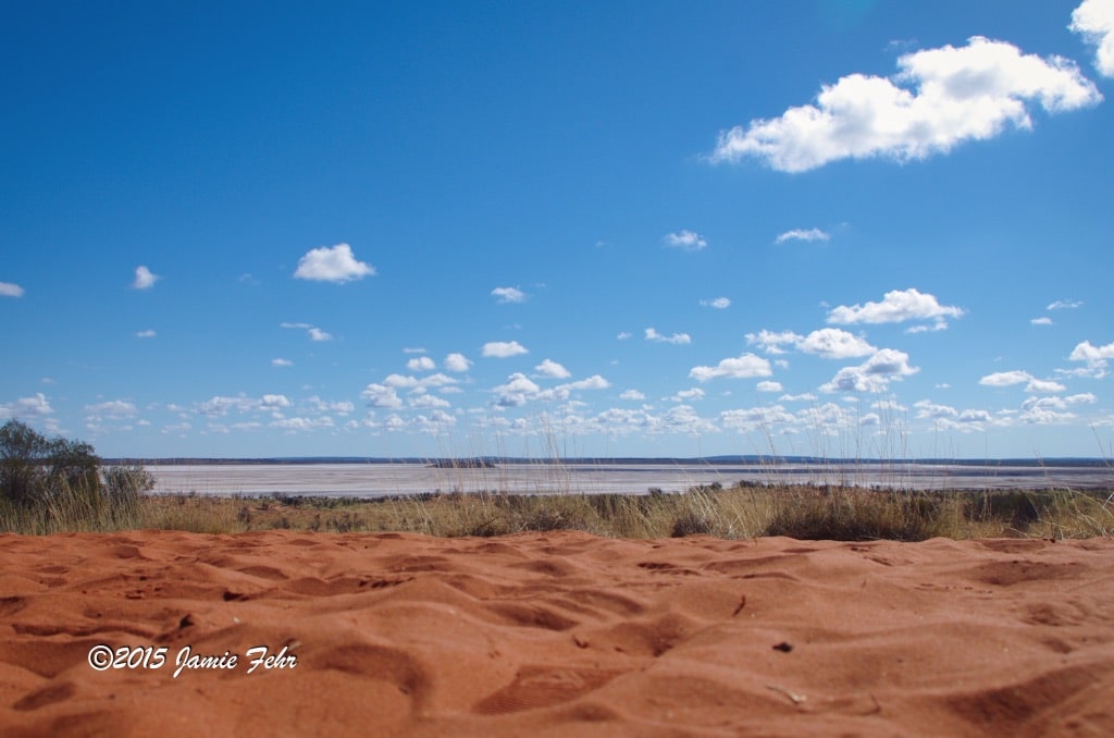
Shortly after leaving, we made a quick stop at Mt. Connor. It is a tabletop mountain, and apparently many people erroneously think that it’s Uluru, hence it is also known as “Fooluru.” From there, we also walked 100m off the road to see a salt lake, Lake Amadeus.
The drive back to Alice Springs was long, and a little awkward for most of the way. As Ben had mentioned, almost nobody talked to me, or even wanted me to sit beside them. But that was OK with me, because besides my new friend Nitin, I knew it wasn’t likely I was ever going to see many of them again.
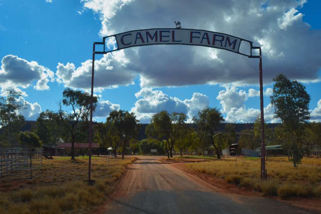

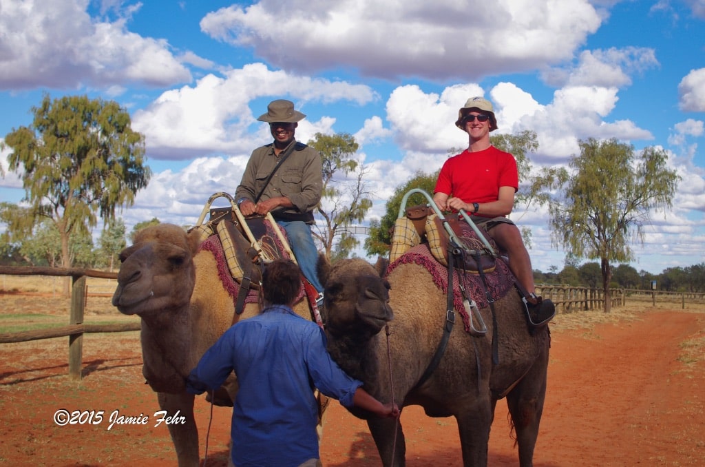

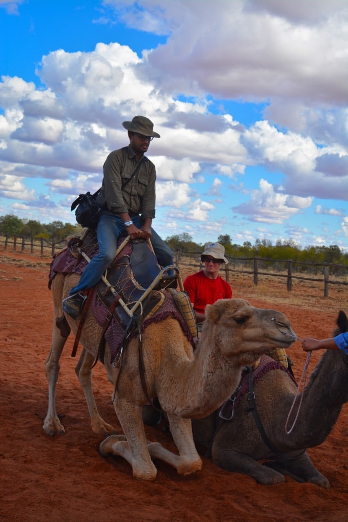
An hour outside of Alice Springs, we stopped at a place called Camels Australia (it has since been renamed to James Range Camels). This camel farm was the first to be established in Central Australia near Alice Springs in the early 1980’s. If you are looking to find it (either on a map, or to physically go there), it is right beside Stuarts Well Roadhouse & Caravan Park, on the Stuart Highway. Also, you can check out their website. In addition to camels, they also had a couple of Emus, and there were some Kangaroos hanging around as well.
Here we were all given the opportunity to ride Dromedary Camels. It was more of a sampler ride, just around the corral once. But this was the first time I had ever ridden a camel. There were two camels working for our group, so we all took turns riding in pairs. Nitin and I each rode our respective camels together.
As this tour had progressed,
Nitin and I started building a friendship. When we left Alice Springs, we each went our own ways, but we kept in touch.
I later learned that Nitin writes “nature travel” and conservation articles for Lonely Planet, which is seriously cool to me! A big reason is because I have a special place in my traveling heart for Lonely Planet. Theirs was the travel guide I carried in 2009 when I did my first big trip with three friends, to Western Europe. I will write about that in a future post, check it out here. (link to come in the future, after it’s posted)
If you are interested in checking out one of Nitin Gairola’s Lonely Planet articles (he primarily writes about wild places), please click here.
Then a few years later, a fun opportunity presented itself. My wife and I (by then I was married) were invited to a wedding in India. While there, we visited Nitin and his wife Richa, in their (at the time) home city of Mumbai. Check out this post for our adventures in India. (link to come in the future, after it’s posted)
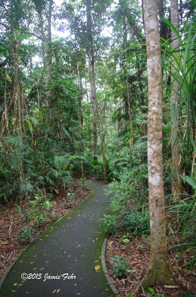
Once we returned to Alice Springs, I spent another night, before I caught a flight to Cairns. There was such a contrast between the red, barren, dry outback and the green, lush, humid rainforest. It felt good to be back “home” again. A couple of days after that, I boarded a liveaboard dive boat for one week.
Next month, I will be sharing about my week on that boat, named Spirit of Freedom. I look forward to seeing you then!
Till next time, keep dreaming big!
» Jamie
“Never let your memories be greater than your dreams” – Douglas Ivester”
Brilliant storytelling abilities along with captivating snaps . Loved the Hamlet moment and the reflections. Kudos my friend